 Eustis Estate
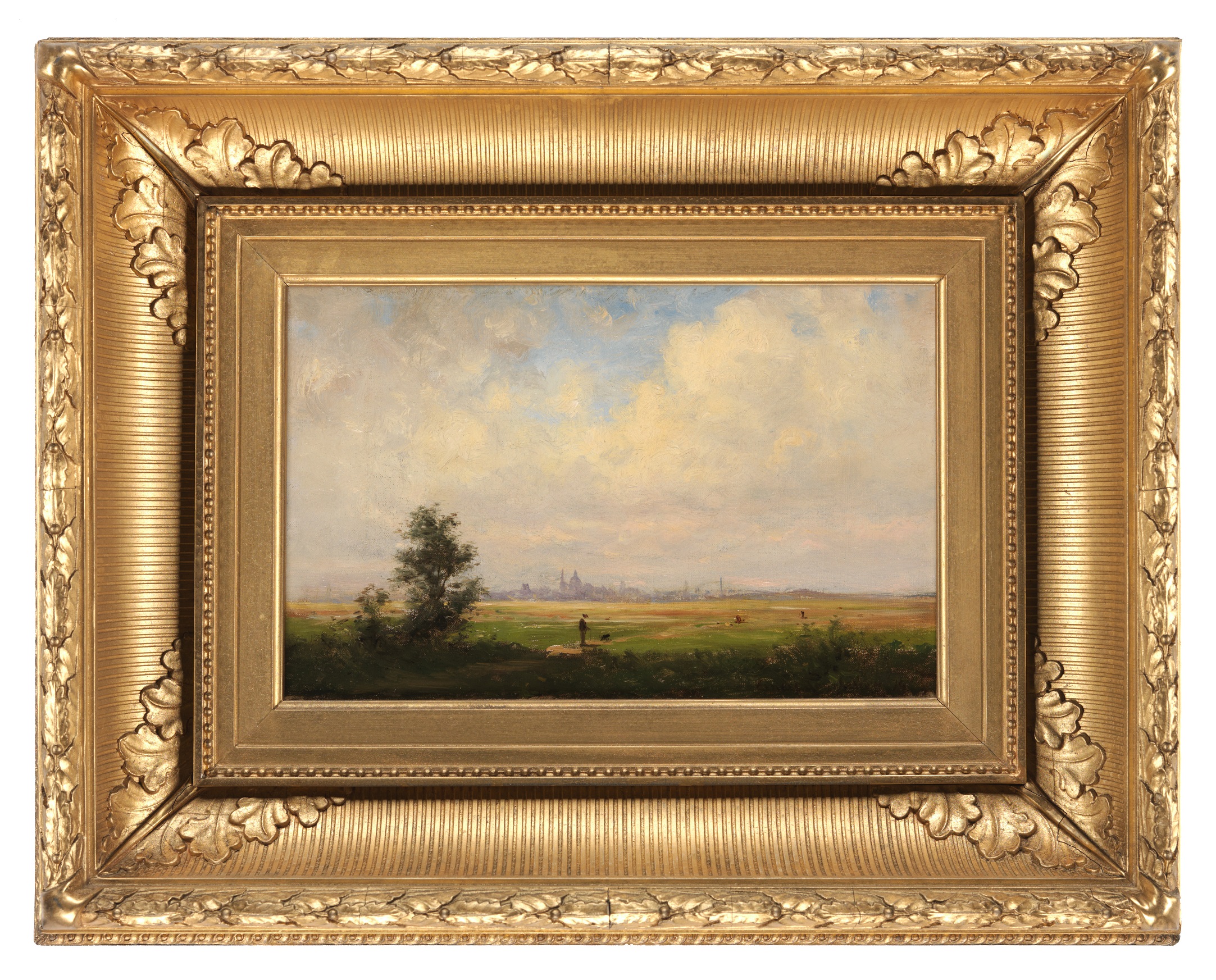
Ernest Wadsworth Longfellow

Where Is This?
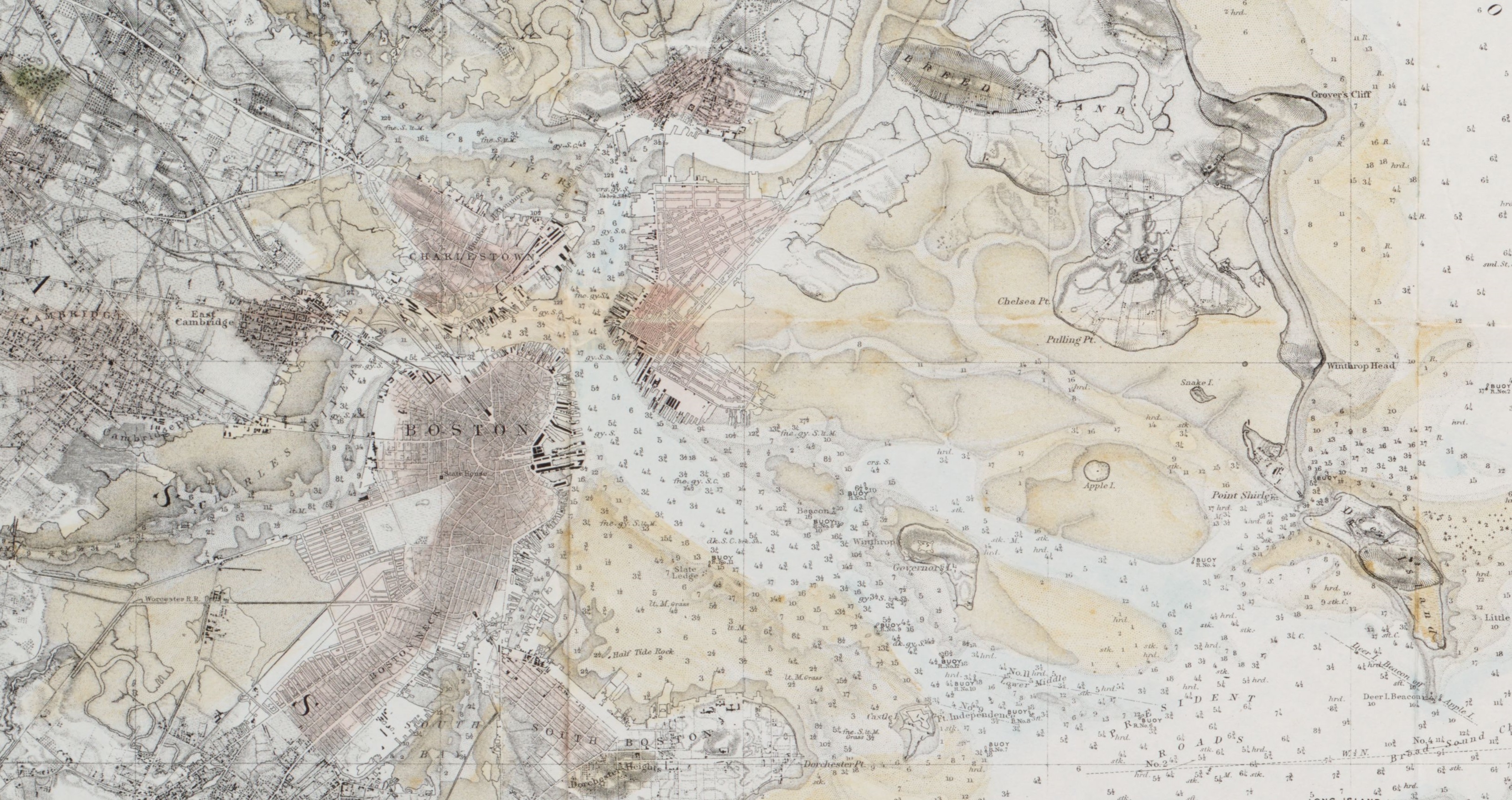
Ernest Wadsworth Longfellow made this scene of Boston while looking west from Winthrop, probably from Point Shirley. In the twentieth century, landfill was added to the flats to create the area that has become Boston Logan International Airport. This detail of a U.S. Coast Survey chart offers a view of Boston Harbor in 1863, almost fifteen years before Longfellow painted this scene. Colored in brown, the flats are seen to the right of Boston’s historic center.
