 Eustis Estate
Landscape Tour Stop 8

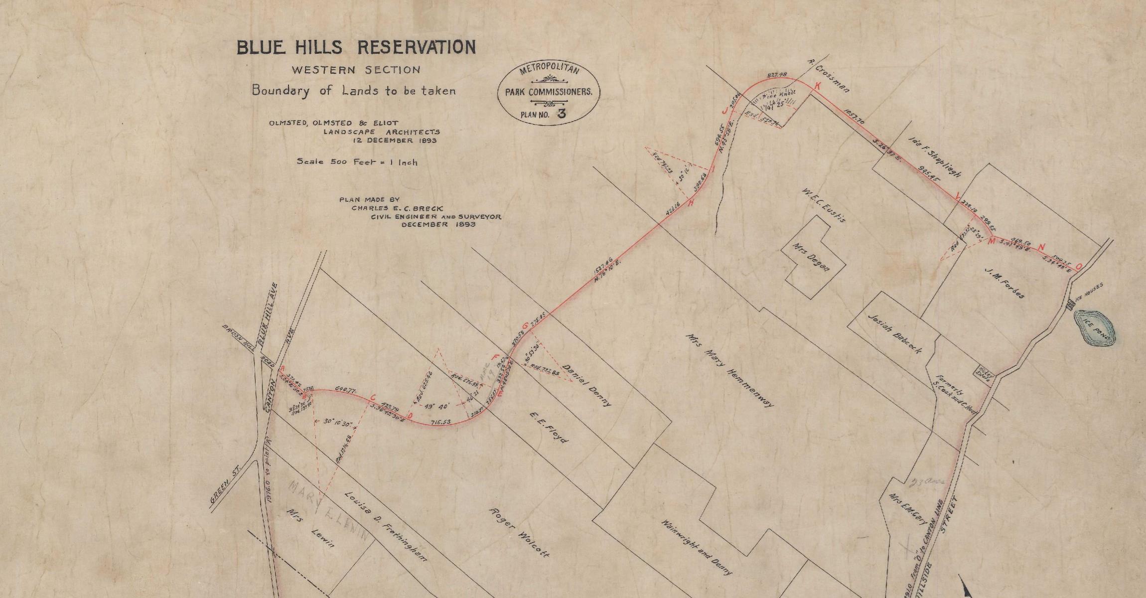
When the Eustis Estate was built in 1878 at the base of the Blue Hills, the hills were primarily private property, known locally for their natural beauty. When the Blue Hills Reservation was created in 1893, the Eustises lost approximately 118 acres of land through eminent domain. Another 812 acres were taken from the Hemenways and other neighbors. This map shows the land that was taken. Today the Blue Hills Reservation encompasses more than 7,000 acres.